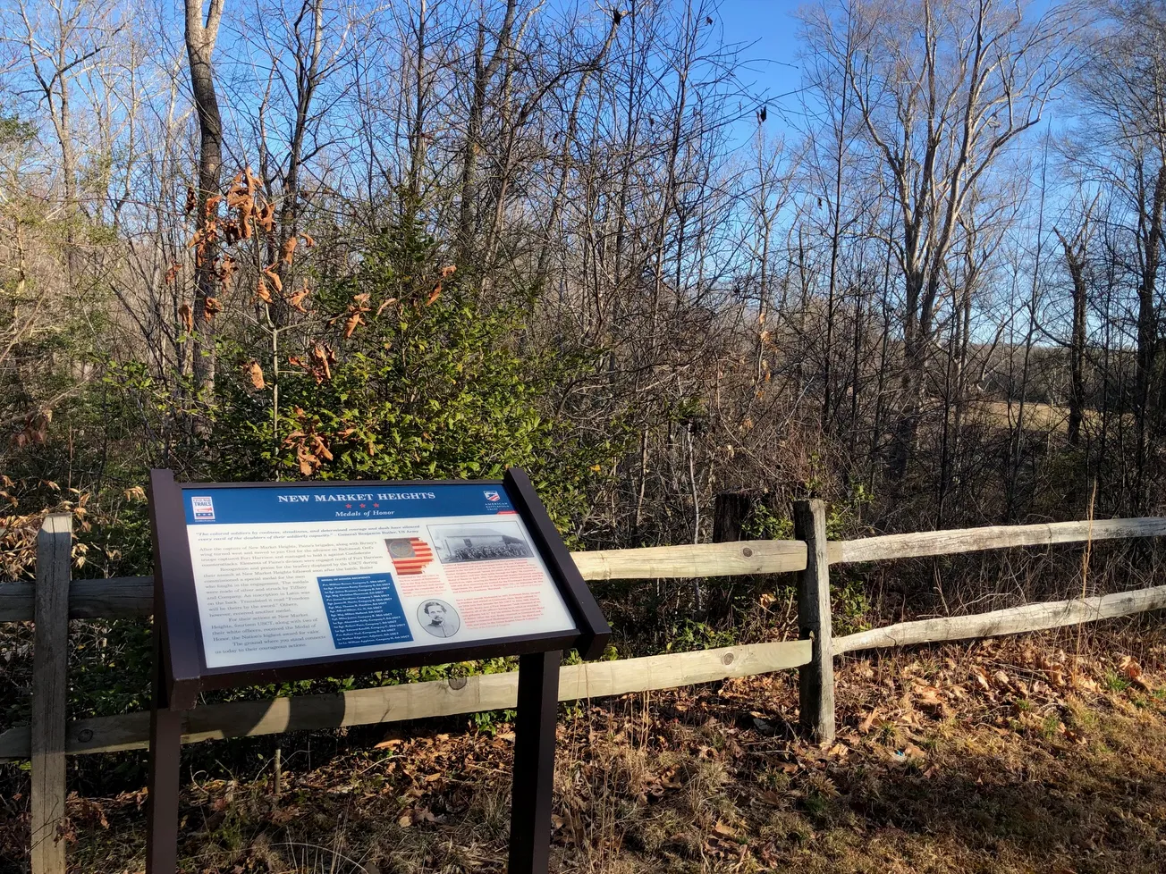
Skip to content

Planned shared-use Henrico trail would follow historic Civil War path

Officials also intend to create wetland mitigation bank concept at Varina site

The New Market Heights Trail would travel through American Battlefield Trust property on which a portion of the Civil War's Battle of New Market Heights occurred. (Tom Lappas/Henrico Citizen)

Table of Contents

In the early morning hours of June 20, 1864, hundreds of Union soldiers arriving through light fog on the James River crept off their pontoon boats in Varina during the Civil War. They quickly used some of those boats to erect a pontoon bridge – constructed by draping and securing cloth across a series of the lined-up boats – from the river to a landing spot at what is now known as Deep Bottom Landing.

They did so quietly, lest nearby Confederate pickets (soldiers whose role was to provide early warning of enemy advances) notice them.

In the weeks that followed, the makeshift bridge became a key access point for Union forces, who used it just more than a month later to cross the river and attack Confederate locations in the first battle of Deep Bottom. That battle, and another that followed in August, proved unsuccessful for the Union.

But a third attack at the site in late September that year known as the Battle of New Market Heights had a different outcome, resulting in the capture of New Market Heights by the Union – led in large part by a brigade of U.S. Colored Troops.

That effort launched at dawn, after soldiers had trudged north from the pontoon bridge on the river, forming a trail of about three miles in length. Of the 16 USCT who earned Medals of Honor during the Civil War, 14 did so during the Battle of New Market Heights.

Now, Henrico officials are planning to memorialize the route they took by creating a permanent shared-use trail that follows their path.

The 3.2-mile paved New Market Heights Trail will link Deep Bottom Park with Four Mile Creek Park at New Market Road and Interstate 295 in Varina, connecting to the existing Four Mile Creek trailhead of the Virginia Capital Trail there.

Deep Bottom Landing in Varina played a pivotal role in several Civil War battles. (Tom Lappas/Henrico Citizen)

From Deep Bottom, the trail will travel north along the outskirts of the Henrico Water Reclamation Facility on Kingsland Road, cut through a small portion of the Varina LandLab (a preserved 300-acre site managed by the Capital Regional Land Conservancy that has trails and two trailheads of its own), then cross Kingsland Road onto historic battlefield property owned by the American Battlefield Trust.

Then it will meander through the battlefield, a wooden area and across an easement, around Civil War earthworks, into the area designated as New Market Park, along a several-acre pond (the result of a forming mining operation on the site) and through more woods before reaching its northern terminus at New Market Road (adjacent to an existing Dairy Queen and Exxon gas station). An unfinished gravel trail also will be constructed around the pond and will meet the paved trail on both sides.

County officials anticipate that the trail will cost about $16 million, be constructed in four phases and be underway by sometime in 2027 with completion possible the following year. They will host a public meeting to discuss their plans in greater detail July 29 from 5:30 p.m. to 7 p.m. at the Varina Area Library, 1875 New Market Road.

“I think this will be a big attraction,” Deputy Henrico County Manager for Community Operations Steve Yob told the Citizen during a visit to the property earlier this year.

Yob recalled visiting the Antietam Civil War battlefield in Tennessee and being impressed with how accessible it was to visitors, whether they were walking, driving or cycling. He hopes that the New Market Heights Trail will engage people in a similar way while helping them learn more about the region’s history.

“There’s just a lot of opportunity here,” Yob said.

By connecting to the Four Mile Creek trailhead, the new trail also will provide Virginia Capital Trail users with just the fourth river access point from that 51.2-mile trail that connects Richmond and Williamsburg; two of the three existing points abut the James, while the other connects with the Chickahominy River.


0:00
/0:12

The paved New Market Heights Trail would pass along one side of this large pond on the New Market Park site (just south of New Market Road) while an unimproved gravel path would be constructed around the other side, connecting on both sides of the pond with the paved trail. (Tom Lappas/Henrico Citizen)

Henrico officials also intend to utilize the New Market Park site, through which the trail will travel, in another way: by creating a wetland mitigation bank there as a way to save the county money and potentially generate some new revenue from developers, too.

When development projects create unavoidable damage to streams or wetlands, developers (including the county) must purchase “credits” from such banks at other stream or wetlands sites, which help fund the restoration, enhancement or creation of streams or wetlands there instead. The idea: to offset environmental damage in one spot by preventing it in another.

Six development projects implemented in the past year or two by Henrico government agencies that disrupted a total of 4,000 feet of stream and about 15 acres of wetlands required the county to purchase such credits – at a total cost of about $3.6 million, Yob told the Henrico Board of Supervisors during a retreat last September.

The proposed New Market Heights Trail would travel about 3.2 miles between Deep Bottom Park and New Market Road. (Courtesy Henrico County)

But finding existing mitigation banks can be challenging, and purchasing credits is a competitive process through which the highest bidder wins. Sometimes, heavy competition means that the county must seek credits through several such banks before it succeeds in purchasing them, and that can delay a project, he said.

By turning land at New Market Park (and potentially also at other county-owned sites: Deep Bottom Park, Turkey Island Creek and Hungary Creek) into wetland mitigation banks, the county would be able to provide credits to itself or sell them to others, in exchange for completing the necessary enhancement work at each site. As part of the process, the county would commit to permanent preservation of the sites.

Yob estimated that turning all four sites into such banks and completing all possible enhancement and restoration work create a market value of credits totaling about $20 million, while the work itself at those sites would cost Henrico only about $14 million – creating a $6 million benefit.

“We’re not trying to make money by any means, we’re trying to cover our costs and our liability and our risk that our projects can’t be built because the credits aren’t available,” Yob said. “We’re not going to develop those wetlands around Four Mile Creek anyway, so why not make them into a wetlands bank and save it?”

Credits that the county effectively “purchases” from itself also could be transferred to the Henrico Economic Development Authority for as a way to incentivize development elsewhere in the county, Henrico County Manager John Vithoulkas said during the board’s retreat last year.

“This is the new math, if you will,” he said.


Henrico Capital Projects Manager Ryan Levering points to a map of the Varina LandLab, a portion of which the proposed New Market Heights Trail will travel. (Tom Lappas/Henrico Citizen)

Henrico officials also are hopeful that they’ll be able to construct somewhere along the new trail – perhaps at its northern terminus – a trailhead and monument or statue to commemorate the valor displayed by the USCT soldiers, although that will not be part of the initial project.

“It’s just matter of finding a right place for it,” said Henrico Capital Projects Manager Ryan Levering, who added that the memorial could be one large structure or a series of smaller ones along the trail. A November 2000 addition to the United States Code – the general and permanent federal statutes of the nation – directed the secretary of the National Park Service to provide for the establishment of such a memorial, but federal funding for the project never has been allocated.

“I just think it’s terrible that we don’t have any recognition for that sacrifice,” Yob told the board of supervisors during its September retreat “and I’m hoping that one day we will appropriately honor these folks, and we will keep working on it until we do.”

💡
NEW MARKET HEIGHTS TRAIL COMMUNITY MEETING
July 29, 5:30 p.m. to 7 p.m.
Varina Area Library (1875 New Market Road)
Streaming video: https://youtube.com/live/P2bPmK4kvIo

A nonprofit organization, the Battle of New Market Heights Memorial and Education Association, has been raising money for several years to help fund the erection of such a memorial, and its officials have been among the stakeholders working with Henrico County on plans for the trail.

Funding for the trail is expected to come from a variety of sources, including Henrico County’s own budget, the Central Virginia Transportation Authority, and federal or state grants.

At its July 22 meeting, the Henrico Board of Supervisors is expected to authorize Henrico Director of Public Works Terrell Hughes to apply to the Virginia Department of Transportation for two federal matching grants that could provide as much as $2.5 million apiece to be used toward the trail’s third and fourth phases (the two southernmost legs of the trail, which would connect from the county’s New Market Park site just south of New Market Road to Deep Bottom Park). The county should learn whether it’s been selected for that funding by the end of the year.

The New Market Heights Trail will cross over an easement between the New Market Heights Battlefield and the New Market Park site in Varina. (Tom Lappas/Henrico Citizen)

County officials have spent months working with other stakeholders in the project – the American Battlefield Trust, Capital Region Land Conservancy, National Park Service, Richmond Battlefield Trust and BNMHMEA – to evaluate the best potential path for the trail, then conducting various surveying, cultural resource analysis and environmental analysis work along with initial design work.

“That’s been a really cool piece for me is working with the various stakeholders, so extensively from the early stages,” said Levering. “Before I even began working on this project, I think Steve [Yob] was working with Parker [Agelasto] at the Capital Region Land Conservancy and National Battlefield Trust, kind of trying to come up with the best idea of where a trail might go. We’re kind of keeping in mind each of their goals for the project. Being that this is conserved land, we don’t want to disturb a lot of areas that they’ve got in their conservation easements, but we also want to highlight that general route that the troops made. It’s been a good partnership, I think.”

Levering, Yob and other officials have walked the proposed path themselves a number of times.

“You can see how rugged and swampy it is,” Yob said while venturing along a portion of the proposed path on the American Battlefield Trust site on a sunny day in March. “When the troops were coming to face the Confederate entrenched lines, when they got to this point, it really became real, because now they could see the snipers shooting at them, they had cannons going off in the distance. It really became real.”

Stopping along the path to consider what it must have been like for Union troops who make the same walk nearly 161 years ago, Yob pondered in awe.

“I don’t know what a musket weighs, 40 or 50 pounds?” he said. “I mean they’re heavy wood stocks with iron barrels and they’re long. And they had bayonets and whatever provisions they were carrying to spend the night and eat, so they had to pack a heavy gun, leather boots, wool clothes, and it’s September when this is going on, so it’s hot. Just imagine walking that three miles while they’re firing at you.”

As they began working on plans for the trail, Levering, Yob and other county officials learned an interesting tidbit of history. Because there were USCT soldiers from Ohio among the ranks of those fighting, and because that state permitted them to vote, some of them did so in Henrico.

“There were African-Americans who were voting in Virginia on the battlefield during the Civil War,” Levering said, “and it all happened here.”


Four Mile Creek runs through a portion of the site across which the New Market Heights Trail will be built. (Tom Lappas/Henrico Citizen)

A pleasant surprise for county officials during the initial planning process has been that enough of the framework of a trail exists along several portions of its proposed path to minimize the work that will be necessary to construct a permanent path.

For example, a driveway leading to a home that once was located on the ABT site had a driveway that crossed Four Mile Creek there, and its remnants mean that construction efforts there won’t be as significant as first imagined, Levering said.

“We lucked out, in some capacity, that the area has been used in different ways,” Levering said, “and because of that the evidence of movement throughout the area – bones of a road or a path or whatever – help us out.”

The large pond located along the trail’s path will provide a serene stopping point for walkers, runners and cyclists. There are several small islands within the pond – the result of remnants of clay and other unusable materials unearthed as part of the quarry’s operations. Yob estimated that the circumference of the lake might be about a mile and a half.

Officials plan to construct two pedestrian hybrid beacons – well-marked pedestrian crossings with flashing lights – along the trail; one will be located where the trail crosses Kingsland Road, another where it crosses New Market Road into Four Mile Creek Park, Levering said.

Enhancements also are coming to Deep Bottom Park, thanks to funding from the county’s 2022 bond referendum. Design work should be underway soon for a project that ultimately will improve and make more accessible the park’s boat launching area, add parking spaces and upgrade other facilities at the site. For example, rollers and handrails will be erected at the launch area to make it easier for people to take their watercraft into the river.

For those looking for a localized trail experience, the trip between Dorey Park, along a connecting trail to the Virginia Capital Trail, then over to the New Market Heights Trail and south to Deep Bottom and the James River will be about a seven- or eight-mile jaunt, Levering said.

“It makes for a pretty nice little detour,” he said.