This post is for subscribers only Subscribe Already have an account? Sign In Please enable JavaScript to view the comments powered by Disqus.
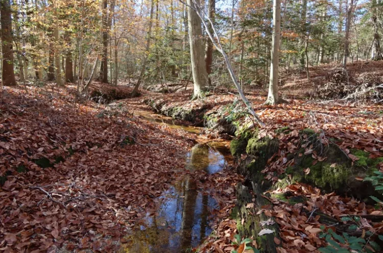
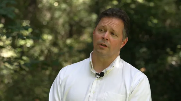
Community Local family rejects development to save historic Varina property Click here to read more , and WTVR CBS 6 August 5, 2025
